
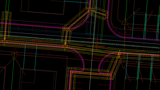
Digitizing real-world features into a digital format streamlines worksite visualization and enhances decision-making. Linework captures essential site elements like buildings, roads, utilities, and trees, overlaying them onto maps and digital plans for precise design alignment.
With clear, updated site views, you can implement efficient workflows and drive successful project outcomes. 2D mapping is vital for accurate spatial and elevation data across fields such as civil engineering, construction, telecommunications, utilities, geomatics, urban planning, land development, and real estate. This linework helps professionals integrate site features seamlessly into their planning and designs.
Creating meaningful linework begins with a clear understanding of your project goals and requirements. The first step is to define the project scope, allowing you to focus on the specific data that will enhance efficiency, safety, and progress. For example, a team preparing a site for a new building will need different linework data compared to an organization installing underground telephone lines. Once you identify your needs, you can collect the relevant data to develop an accurate and informative 2D map.
Collecting accurate measurements and data points is essential for creating a precise 2D representation. Surveying professionals often rely on advanced mobile mapping systems, such as total stations, GPS receivers, and laser levels, to establish control points and capture accurate geospatial survey data describing various structures and features.
Most in-field tools feature intuitive interfaces, enabling surveyors to assign feature codes to specific structures, which streamlines the data collection process. While drones can enhance efficiency, many professionals still traverse the site on foot to gather the geographic data needed to build detailed linework.
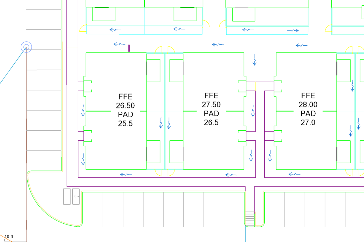
Data processing tasks rely heavily on access to advanced technology and equipment. Generating linework directly in the field can simplify the post-processing workflow. However, for those focused on collecting measurements and coordinates, the data is typically imported into specialized GIS or CAD software. This allows professionals to connect data points with straight lines, curves, and shapes to accurately represent boundaries and features. These drawings are often overlaid on images and maps, enabling professionals to work to scale and align with reference points.
Surveying software also aids in organizing and cleaning data sets to ensure unmatched accuracy. Professionals can add labels, attributes, and annotations to provide context and clarity when sharing 2D maps with stakeholders.
Other methods for creating linework include:
Before implementing 2D mapping deliverables into your decision-making workflow, you must check them for mistakes or errors. Review the linework for accuracy and completeness and address gaps or discrepancies to ensure your drawing meets your project demands. Once you confirm that it aligns with your physical site, you can incorporate the drawings into physical maps, reports, and other final deliverables. In this form, these documents will enhance your communication, analysis, and decision-making capabilities.
Benchmark, a premier data preparation firm with over 20 years of experience in construction technology, specializes in 2D background linework services. Our firm skillfully manages hundreds of projects annually, harnessing a team of certified professionals and the latest technology to deliver precise, high-quality models tailored to each client’s specific needs.
We are committed to customer success, with a proven track record across industries like construction, infrastructure, and heavy civil engineering, Benchmark integrates a global modeling team that scales to meet the demands of any project size. Choose us as your trusted partner to handle your 2D linework from inception to completion, allowing you to concentrate on core project activities with confidence.
© 2024 All Rights Reserved
All right reserved Benchmark